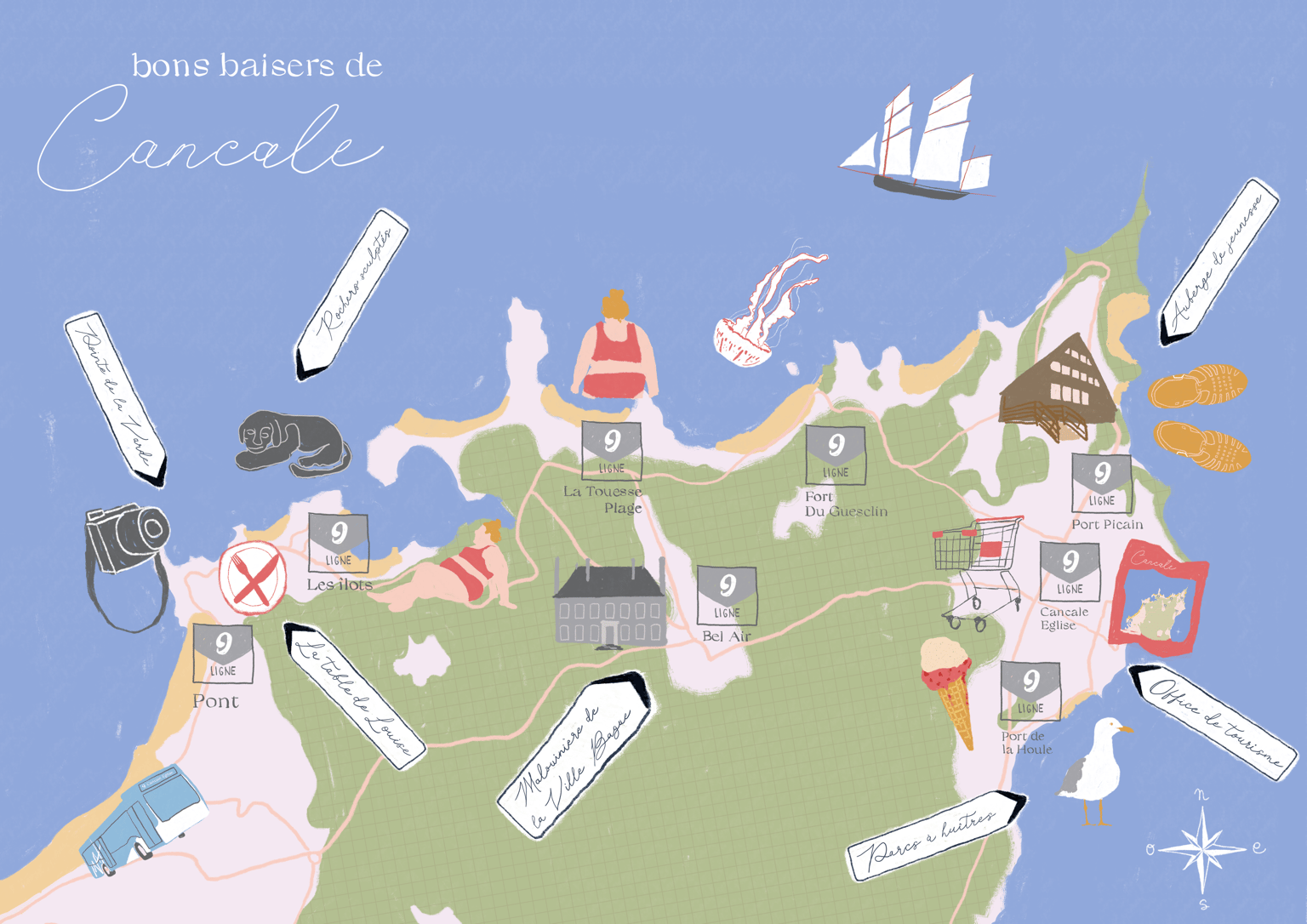
Illustrated map of Cancale, France
I loved this class and decided to illustrate a map of my week of vacation in Cancale (France).
I struggled as most places I went to are along the coast and not spread across the area but it was really cool to make, and now I have a nice memory of almost everything I did that week!
I used Clip Studio Paint, a Wacom tablet, and a lot of photographs as references.
This second illustration has the compass that got lost when I resized my project mid work.